Helping communities establish roadmaps for the future
As the regional planning commission for the Top of Alabama region, TARCOG provides an array of technical planning services to our member governments in DeKalb, Jackson, Limestone, Madison, and Marshall counties.

Comprehensive Planning
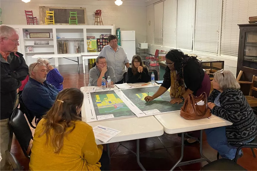
TARCOG maintains the flexibility to design its services around each community’s needs, with strong elements of public participation, practical recommendations for action, plus training, follow-up, and facilitation to ensure communities get the most from their investments.
Comprehensive planning focuses on a community’s overall vision and expectations for future growth and development.
- Planning for the future provides a framework that can help manage change in your community in a way that provides better choices for how people live, work, and play.
- It guides public and private investments that will affect new development as well as reinvestment in existing neighborhoods, significant corridors, and downtowns.
- Comprehensive plans are meant to be living documents based on the citizens’ vision of how they want their community to grow. It is a long-term vision that is intended to be built upon and updated as a community moves forward.
Use the links below to download PDFs of Specialty Projects:


Downtown & Corridor Planning

Subdivision Regulations
Subdivision regulations are municipal ordinances mandating review of proposed division of land into separate lots for resale against pre-determined standards. These regulations are designed to guarantee adequate streets, utilities, drainage, and other spatial requirements for developers to abide by when creating subdivisions. TARCOG planning staff assists our communities with the development, update, and adoption of subdivision regulations especially in rural areas experiencing unanticipated growth and associated residential development. For more information, contact TARCOG planning staff.

Zoning
TARCOG works with our communities to develop, update, and revise zoning ordinances to suit their specific needs. A few examples of TARCOG’s collaborative zoning work include:
- Crossville Zoning Ordinance & Map Update
- Fyffe Zoning Update
- Rainsville Zoning Ordinance
- Shiloh Zoning Ordinance development

Mapping
Member governments of TARCOG enjoy access to our advanced mapping and Geographic Information System (GIS) services. To support TARCOG’s general planning services, our staff prepares:
- Base maps
- Zoning district maps
- Street classification maps
- Utility system maps
- Environmental limitation maps


